
Drone projects
We have three drone projects in action this month:
- Rescue drones: we have modified small drones able to drop rescue supplies such as radios, medicine or supplies to stranded hikers we have located with our high-end heat vision drone, which can find lost animals or people using their body heat
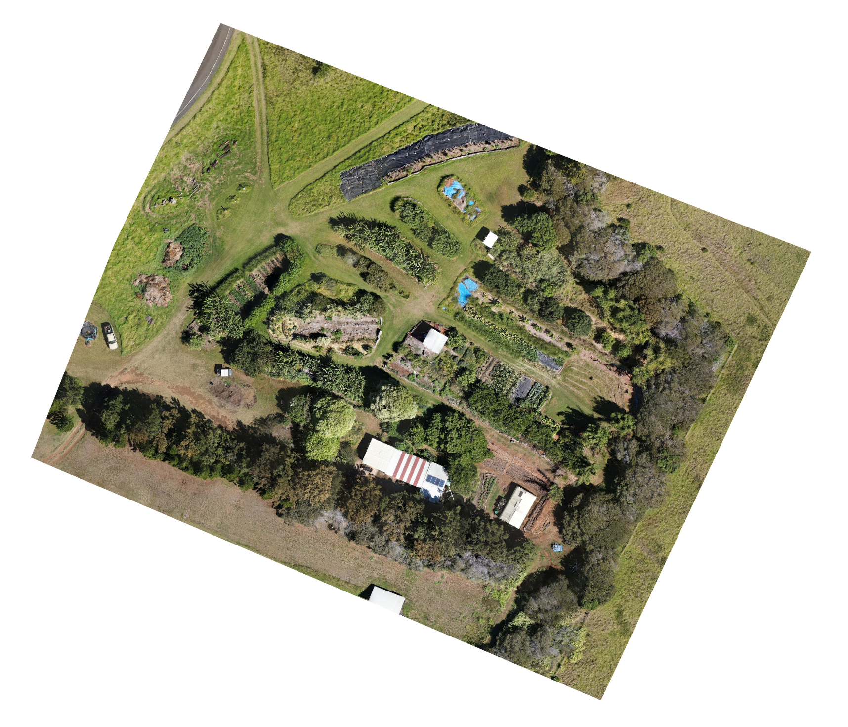
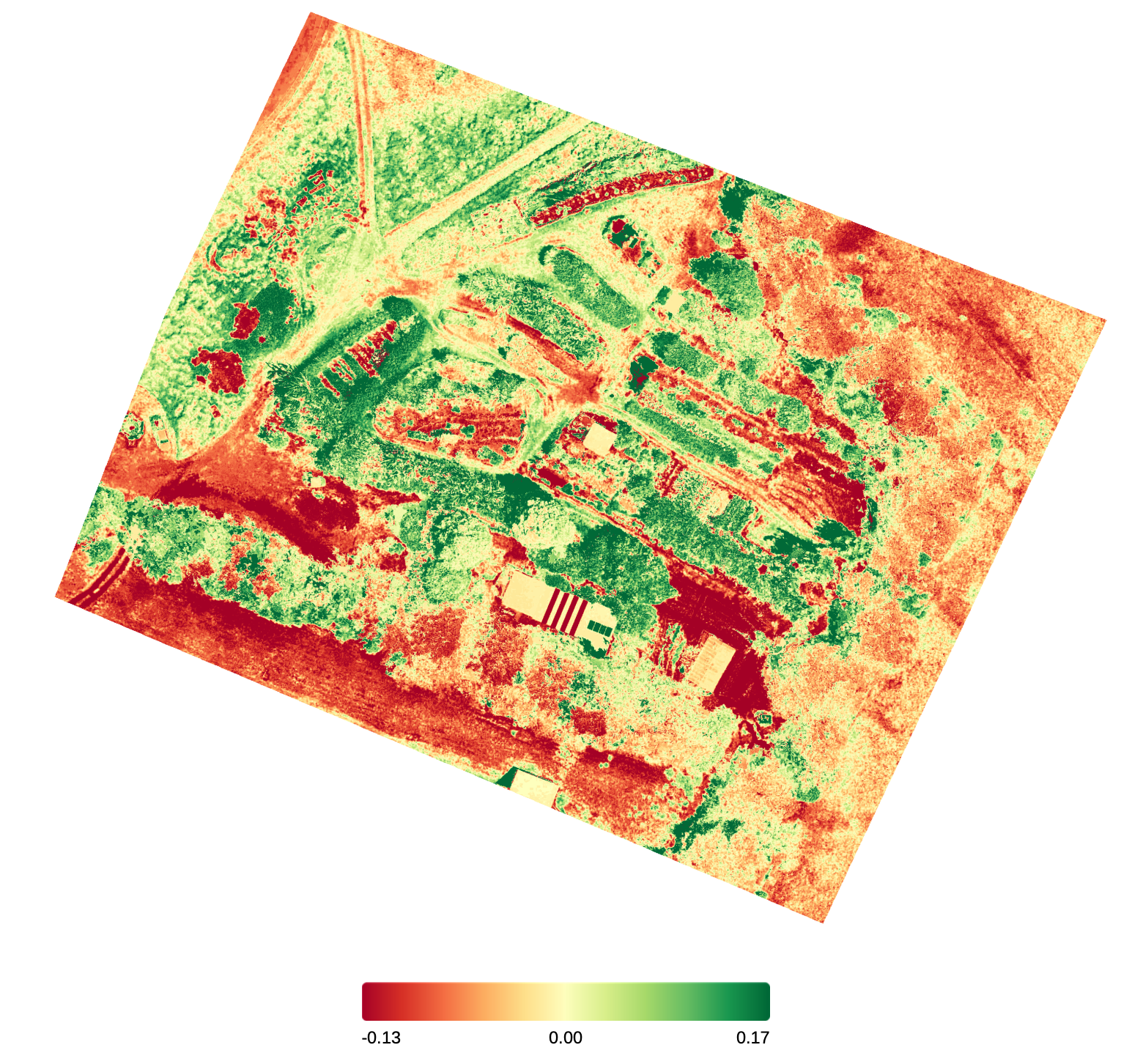
- Drone mapping of the gardens: using our heat sensing drone, students have mapped out the HPA gardens, detecting water levels, plant health and topography for further projects. Led by Max Seidel of Austria and Philip Gerstengarbe of Germany, these projects could be expanded to other farms in the area using these new tools.
- Drone racine comes to the elab! We have recently received two racing drones with FPV (first person view) goggles that we hope to use to teach lower and middle school students how to fly drones. These are smaller, easier to fly, and they have a prop guard for safety. Philip Gerstengarbe is leading the drone education program, creating documentation so students can learn to fly before coming to the elab. Video below:
Unmigrated media:
Unmigrated media:
Drone garden mapping:
Detects infrared radiation which indicates temperature and water content for irrigation information:
Migrated from Apple Server Wiki. Original page ID: _0n37291G