
Lab 02: navigation: reading maps
Check out these maps:
Contour maps:
Download 19320_BookletChart.pdf (application/pdf, 6.8 MB)
Download island_toto_names.pdf (application/pdf, 565.5 KB)
Download island_toto_roads.pdf (application/pdf, 636.5 KB)
Download island_toto_peaks.pdf (application/pdf, 593.4 KB)
Download island_toto_nopeaks.pdf (application/pdf, 346.8 KB)
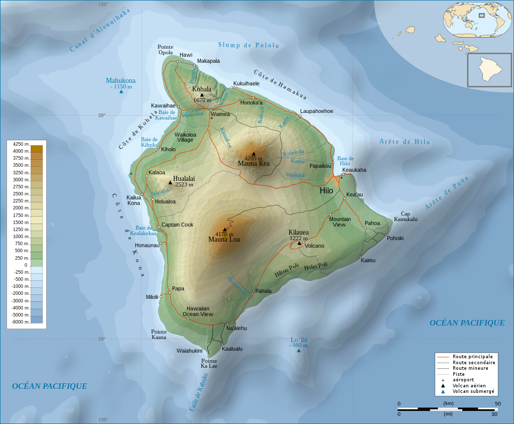
How to read contour maps:
- lines are at one level
- A shapes are rivers uphill
- circles are peaks
- many parallel lines is a flat slope
- V shapes are usually peaks
- no lines means a plain or flat surface
- steeper slopes have many line parallel, bunched together
- on a contour map, if parallel lines are close together, what feature is this?
- you see V shaped lines moving from a peak to lower altitude, what is this?
- same question, only backwards, inverted V
- what do peaks look like on a contour map?
- hold your pencil on the peak you have sighted
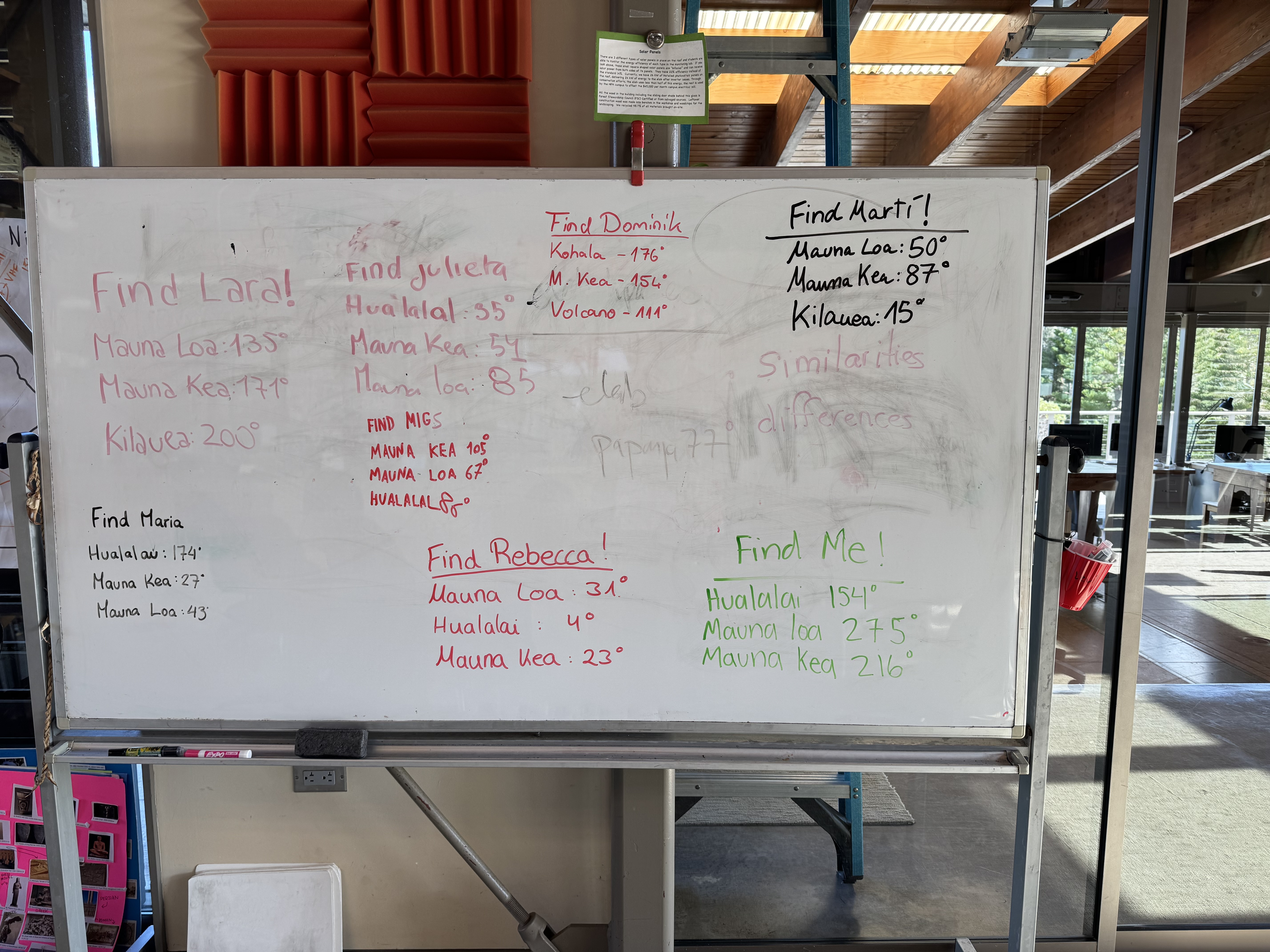
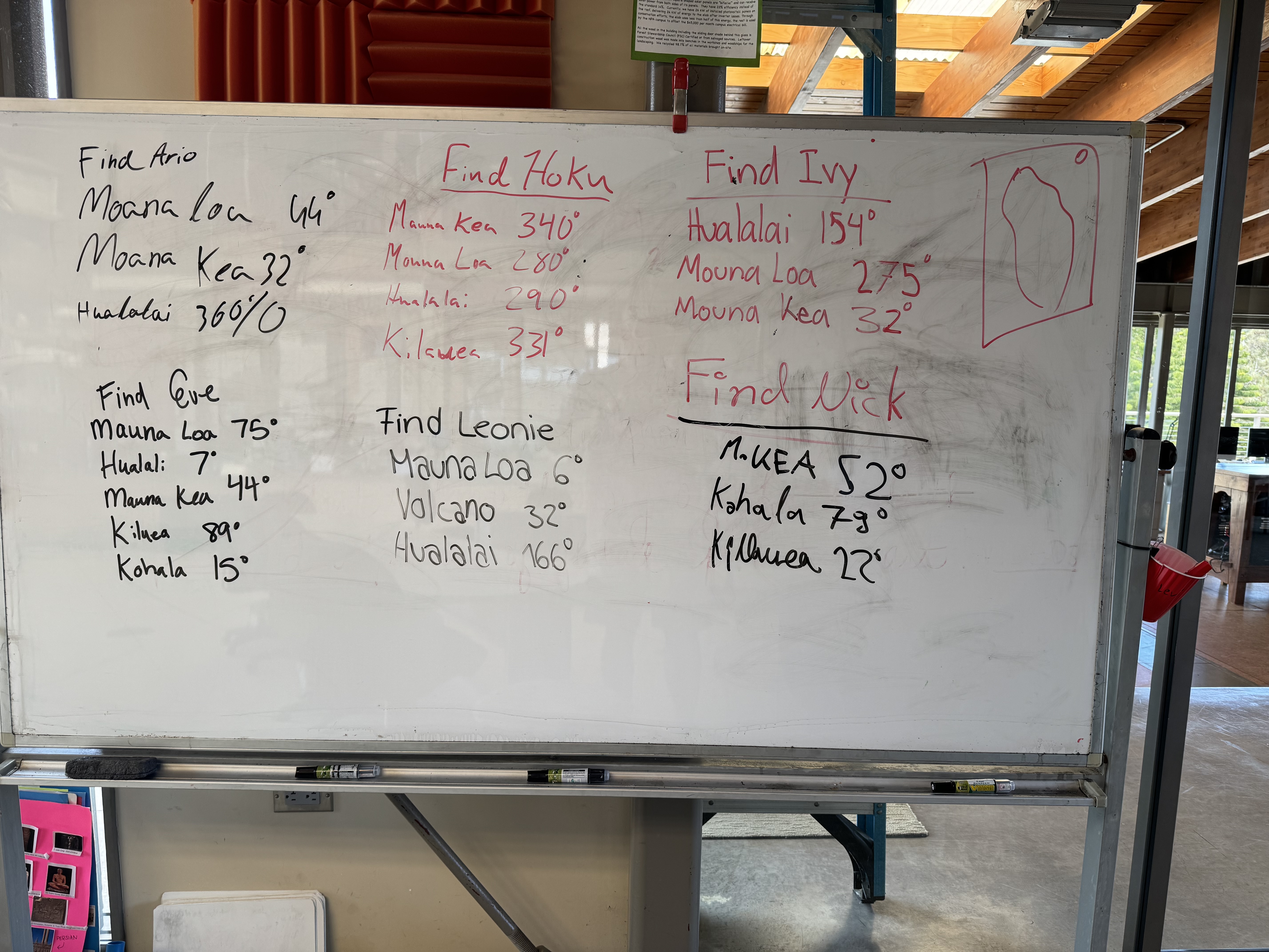
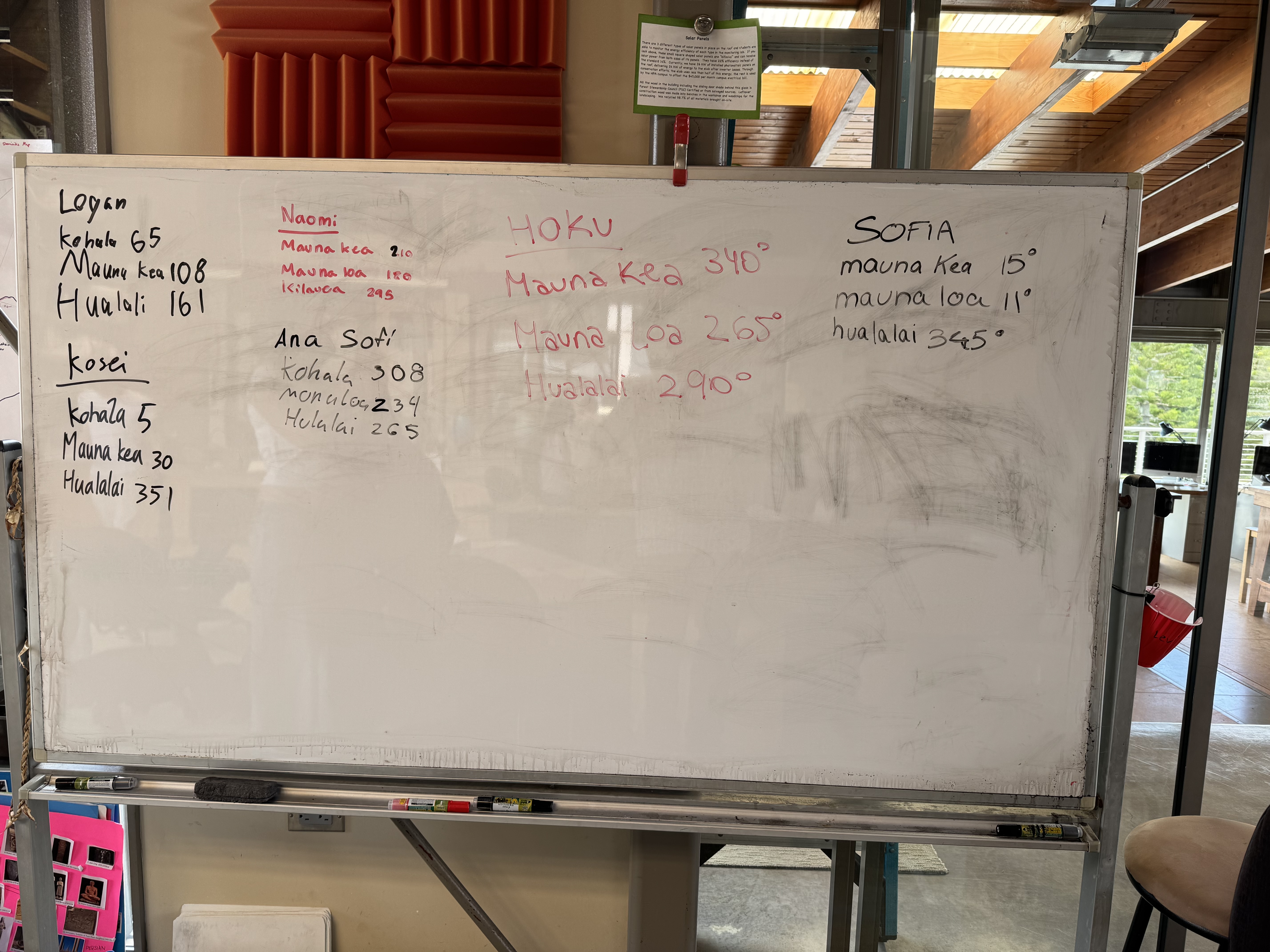
- calculate the degrees the peak would see you: if less than 180°, then add 180°, if more than 180, subtract 180.
- from the peak set your compass on the peak and rotate until the degrees from north (vertical lines on the map) align with your number
- draw a line backwards from that point
- where at least three lines intersect, this is where you are
Unmigrated media: IMG_0794.jpeg (image/jpeg, 3.4 MB)
Unmigrated media: IMG_0795.jpeg (image/jpeg, 3.0 MB)
Unmigrated media: IMG_0796.jpeg (image/jpeg, 3.4 MB)
Unmigrated media: IMG_0797.jpeg (image/jpeg, 3.4 MB)
Unmigrated media: IMG_0793.jpeg (image/jpeg, 3.1 MB)
Unmigrated media: IMG_0811.jpeg (image/jpeg, 3.0 MB)
Unmigrated media: IMG_0810.jpeg (image/jpeg, 2.5 MB)
Unmigrated media: IMG_0809.jpeg (image/jpeg, 2.6 MB)
Unmigrated media: IMG_0812.jpeg (image/jpeg, 3.0 MB)
Migrated from Apple Server Wiki. Original page ID: x5e2H8S